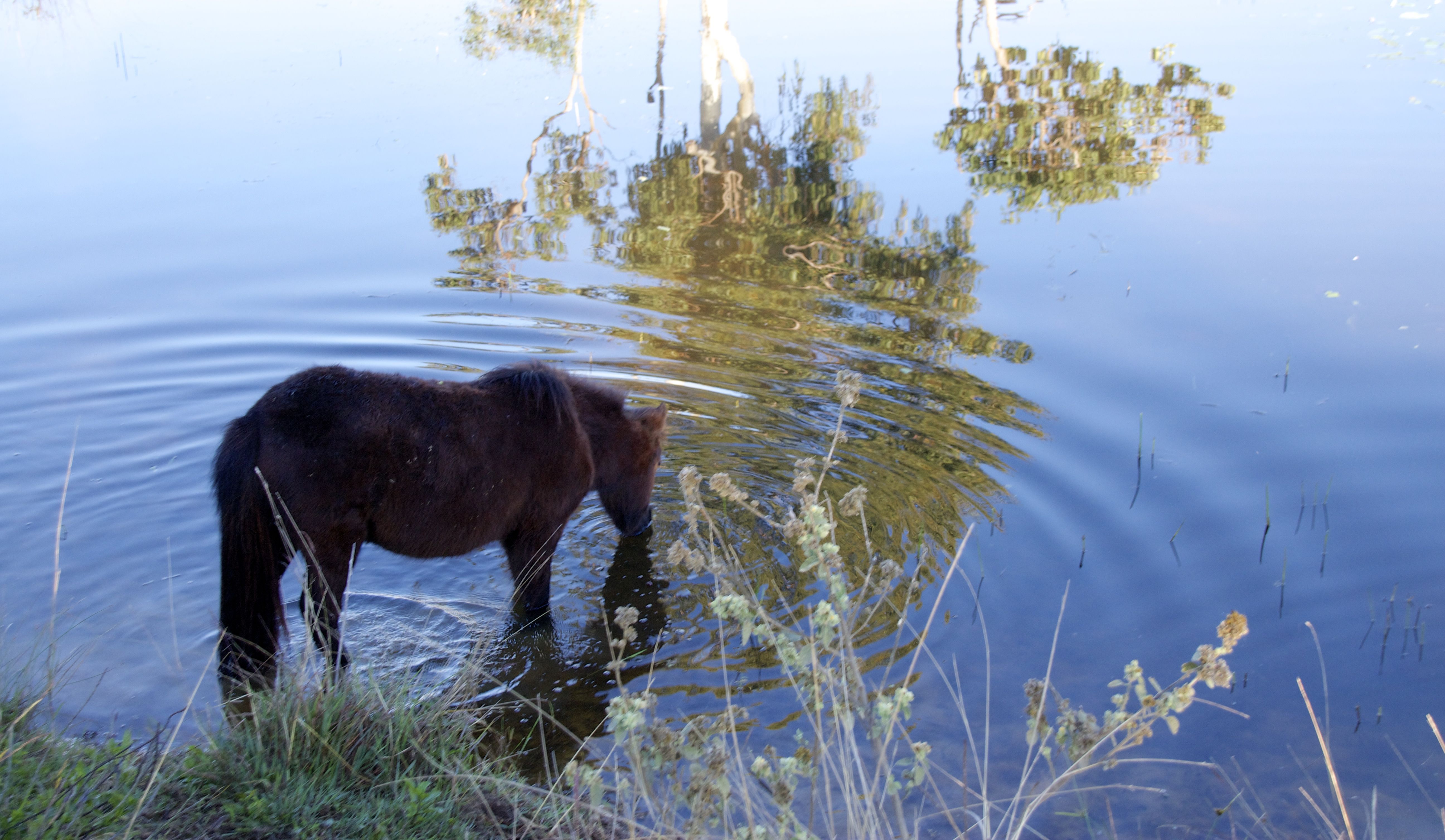
Our next stop was at Echuca. We pulled in to the Rotary Park and found a spot beside a miniature railway line. Although the bush camp is free they do ask for donation to help with the cost of water and rubbish collection. We were a stone’s throw from the river although we couldn’t see the water from our site as the banks were unevenly high. We knew it was there from the amount of birds that flew past us and swooped down on the other side of the bank.


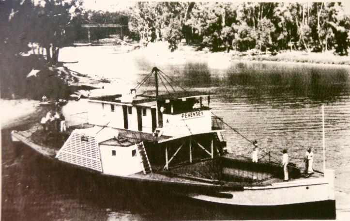
Echuca sits on the Murray and the Campaspe Rivers. The town started in a small way. Henry Hopwood purchased a small punt to ferry people across the river. It wasn’t too long after, a small settlement known as Hopwood’s Ferry started to grow. The name of the town was changed in 1855 to Echuca. By 1870 the Echuca Wharf was the largest inland Port in Australia. With the port, new land could be opened up as goods could now be transported along the river to market cheaply. The river was faster than a bullock wagon and with high water a paddle steamer could travel as far north as Walgett, which sits almost on the Queensland border. A round trip to Bourke (North West of New South Wales) would only take about 5 weeks to make the 2100km journey. There was a problem with traveling by river though. Australia is the second driest country in the world and often suffers from drought. It was not uncommon for a boat to be stranded somewhere waiting for the rains to arrive. They could be stuck anywhere from a week or two to a year or two.


When the steamboats did arrive at the port of Echuca they would be heavy with goods like wool, wheat and timber and sometimes even the odd possum rug could be found. The goods would be transferred from the barges and onto waiting carriages for the goods trains. Most of the trains would travel to Melbourne. As you can imagine the town grew rapidly and by 1890 Echuca was said to have over 100 pubs and hotels. (Pubs and hotels always seem to be built before anything else like hospitals or schools.) The town started to decline when a more effective railway system arrived at the town.
After learning about the large red gums being transported by bullock cart in Mathoura it was interesting to see what one of the carts looked like as one was on display at the Echuca Wharf. The log was 20 feet long with a girth of 18 feet. I was impressed as this log was only about average size. The wheel on the cart did make me think of Fred Flintstone when I saw them. (Way back then the rubber tire hadn’t been invented but they were working on it.)


The Echuca Wharf has been made into a tourist destination. In 1984 a TV miniseries was made with Echuca Wharf as a backdrop to the story. The series was based on Nancy Cato’s historical novel (which was published in 1958) ‘All The Rivers Run.’ Of course it is a love story between a riverboat captain and a young lady, but it is also about the struggle of a woman to survive in a male dominated world. The series put Echuca back on the map.
The area has been set up as what it may have looked like in it’s heyday with shops, a wood shop and a running sawmill. Even down to the guard dog.


The wharf was built using the local Red Gum trees. A Discovery Centre now sits in pride of place on the wharf and offers a unique look into what once was. (Yes I read that in one of the brochures.)


I found the display of old tools used in the making of the steamboat very interesting. Most of them I didn’t recognise.


Every steamboat captain would have his own hand drawn charts they could add information to about the changing river. The charts were housed in a purposely-built box, which allowed the captain to scroll the chart as he travelled down the river. Some captains would have a chart for high water and another for low water levels of the river.


During the season (high water leaves) the port ran almost around the clock. Workers would work 12 hours shifts with the wharf being lit up with gaslights. Even then boats would often be lined up to be unloaded.
We walked out to the wharf. What I found interesting was the plaque to indicate the NSW and Victoria borders. Normally when a river is part of the boarder the line will run through the centre of the river. When NSW and Victoria became two separate colonies it was decided to use the high water mark on the Victorian side so there is only one set of rules and regulations on the river. Yes I had to get a shot of me being in two states at once.
")

The area has been set up to look like a slow day at work.
Over time the wharf grew to be 332 m (1058f) long, which is five times what it is now. It had several different working heights and the waterleaves could drop by as much as 10m. During World War 2 a large part of the wharf was demolished and the timber was sent to Melbourne. Most of the wood was burnt for fuel to power different factories helping with the war effort.
Depending on the height of the river you can take a walk along the lower levels. It has been reconstructed with some of the original timers. Ironbark has been used for the front two rows, as it is better suited.


We saw several steamboats traveling along the river filled with people having a good time.


We continued on to the sawmill, which is part of the discovery centre. The mill was connected to the wharf area in its heyday. The steam engine is a ‘Goodall’ originally from Manchester. The first engine was used “to drive the docking saw line shaft in the saw mill,” now it is on display and at set times it is run. Ok you can’t get very close to the engine but you can walk around it. Even I was impressed.


